


Denying an adversary the chance to operate effectively in a given battlespace can be achieved by a variety of means. The denial of positioning, navigation and timing (PNT) data supplied by global navigation satellite systems (GNSS) such as GPS, and on which so many NATO ally platforms rely, has become one of the most significant threats to effective operations on today’s battlefield.
Denied environments come in all shapes and sizes. Obstacles and other defensive emplacements may have been prepared to deny an opposing force ease of manoeuvre in a land-based scenario; defending against a counter-offensive, for example, where the defender uses a variety of barriers, such as minefields and wire and ‘dragon’s teeth’, often creating kill zones by pre-zeroed in artillery and other kinetic weapons. Anti-access/area denial (A2/AD) at sea, too, where maritime routes, regions and straits, for example, are ‘covered’ and in range using weaponry such as land-based, anti-ship missiles, unmanned surface vessels (USVs) and unmanned underwater vessels (UUVs), denying an opposing force the chance to safely operate in such waters.
Yet, whether on land, at sea, or in the air, combatants and their sophisticated platforms, weapons and sensors have all come to rely on satellite and communications technologies and services for their PNT and command and control (C2) requirements. Countering these technologies and services has grown into a battlefield game-changer. As the war in Ukraine has shown, electronic warfare can be used to effectively degrade or deny services as GPS and many forms of communications.
This article looks chiefly at the increasing threat of GPS-denied environments, how operations are affected in the real world, current experiences on the battlefield, as well as a handful of the systems and technology currently being developed by industry and marketed to address this threat to allow allies to continue operating in denied environments effectively. Mention is also made of maritime A2/AD.
Denial of GNSS
Any satellite constellation that provides PNT services, either on a global or regional level, is described as a GNSS, and while the US Global Positioning System (GPS) is the most widely used GNSS, there are other systems that provide complementary and/or independent PNT capabilities to GPS fielded by other nations. These include: China’s BeiDou (often referred to as BDS) constellation comprising 35 satellites; the EU’s Galileo constellation currently comprising 23 satellites, with an eventual target of 30; Russia’s GLONASS constellation comprising 24+ satellites; ‘Navigation with Indian Constellation’ (NavIC), a regional Indian constellation comprising seven satellites; and Quasi-Zenith Satellite System (QZSS), a small Japanese constellation to complement and improve GPS coverage in East Asia and Oceania, which is expecting to reach its seven-satellite target in late-2024.
These constellations illustrate the huge importance that the global community places on its need for PNT information, with militaries the most critical users. It also highlights the fact that while our adversaries will, in times of conflict, be doing their best to interfere with our PNT, such as blocking GPS signals, Allied forces, will have the same aims in mind regarding any opposing GNSS system.
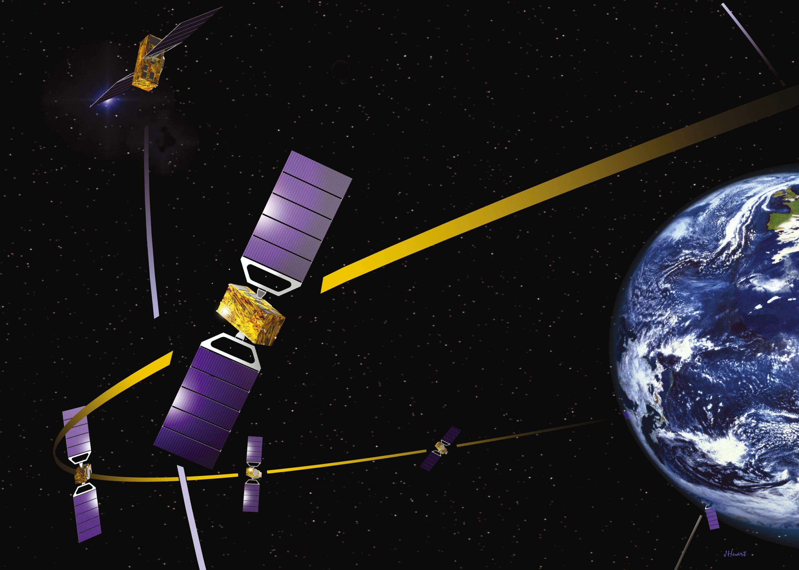
(Credit: ESA
This is where GNSS denial (for the purposes of this article, GPS) creates a denied environment. This happens when a receiver, perhaps in a vehicle navigation system, in a missile GPS guidance system, or in a GPS-guided artillery round such as the M982 precision-guided 155 mm Excalibur artillery shell, for example, is unable to provide PNT to a platform, because satellite signals are unavailable and cannot be reached.
As a result, none of those GPS-reliant platforms will be able to either find their way, or prosecute their missions. As to why no GPS signal reaches those respective receivers, depends on whether it is intentional or deliberate interference, spoofing, signal blockage/jamming, or constellation failure for various reasons, some accidental, others deliberate.
Signal interference, for example, can be wholly unintentional, with the source being something like a faulty radio or antenna, or maybe a result of dust or water ingress into component parts creating signal noise (passive intermodulation). Ways of overcoming short-term interference include the use of additional navigation sensors, such as Inertial Measurement Units (IMUs), Inertial Navigation Systems (INS), odometers, and/or altimeters.
It is also important to note, that those GPS signals reaching a receiver, having crossed huge distances from orbiting satellites, will be very low in power, which makes them susceptible to interference from other signals transmitted in the GPS operating frequency range. If these other signals are sufficiently powerful and are potentially deliberate jamming signals, it will be very difficult for a GPS receiver to detect the low power, incoming GPS signals from the satellites.
To counter such intentional jamming, one approach is to deploy anti-jam antenna systems, which consist of controlled reception pattern antennas and advanced electronics, to control the amount of signal received from a particular direction. If interference from one direction is sensed by the antenna system, it turns down the antenna gain for that direction, thereby reducing the amount of interference received.
As a result, true GPS signals from other directions can reach receivers in the area. Another approach being taken is the employment of new forms of GNSS signalling, as in the case of GPS using the M-Code waveform currently being rolled out, which is more resistant to jamming than the C/A Code, and P/Y Code waveforms.
Alongside jamming, an opponent can also spoof GPS signals, deceiving GPS receivers into reporting bogus PNT data. Spoofing does this by introducing a false signal – either using a signal generator, or by rebroadcasting an actual recorded GPS signal – which has the same structure and frequency as the GPS signal, but with the spoof signal controlling its transmitted power level to ensure the receiver locks onto it rather than the real, weaker, GPS transmission. The information contained in the body of the spoofed signal results in the receiver calculating and providing incorrect PNT data to its users.
The whole process of spoofing GNSS signals is complex and requires sophisticated equipment to execute, as well as precise information regarding the velocity of the targeted receiver, for instance, whether it is aboard a GPS precision-guided munition or missile. Spoofing complexity increases further if the attacker attempts to simultaneously spoof more than one GNSS frequency or constellation.
That said, it is possible to protect against spoofing using a receiver able to track multiple frequencies and/or multiple constellations, as it will be able to detect and overcome spoofing attempts. Navigation sensors such as GNSS combined with an inertial navigation system (INS) can also be used to detect and overcome a spoofing attempt, as inertial measurement unit (IMU) signals cannot be spoofed.
Beyond the threats of interference, jamming and spoofing, operatives may find themselves in a GPS-denied environment simply for topographical reasons, perhaps a cluttered urban setting in which high-sided buildings and skyscrapers obscure clear line-of-sight to the satellites being tracked by the receiver, or thick forest, etc. Without the ability to track/see several satellites in a given constellation, a receiver will be unable to calculate its required PNT information.
However, by tracking more than one constellation, more satellites will be available to ‘be seen’, thereby increasing the chance of finding enough to calculate PNT details. This is where using multiple navigation sensors, including having an IMU alongside a GPS receiver, allow signal outages due to physical obscuration to be overcome.
One final, less likely circumstance creating a GPS-denied situation, is the worst-case scenario of a complete constellation failure. Certainly, having receivers that can track more than one constellation will provide some protection from this unlikely occurrence, nevertheless, it is a scenario Western allies need to train for due to its increased likelihood in the event of a major conflict between major world powers. At such a juncture, normal services will be anything but, and they’ll also be unlikely to resume anytime soon.
Ukraine highlights operations in GPS-denied environments
For years now, and well before Russia’s invasion of Ukraine, it has been recognised by the US, Allied and NATO commanders, that in the event of a serious conflict with a major power, such as China and/or Russia, the West would be extremely vulnerable to having most of its satellite and ground-based electronic communications shut down by electronic warfare systems and other enemy actions, including space-based weapons.
Wargames have shown US and Western forces to be far more vulnerable than originally presumed. Indeed, analysis has shown that methods for disrupting access to GPS and Allied satellite resources, while minimising potential damage to their own satellite capabilities, have been developed and pursued by China, with its forces also training to ensure they can continue to operate in communications and GNSS-denied environments.
In Ukraine, a new barrage jammer was used by the Russians earlier this year to broadcast electronic interference across a broad range of frequencies at greater distances than previous systems. The apparent intention was to disrupt Ukrainian GPS-guided weapons such as GMLRS rockets and JDAM bomb guidance kits. US platforms and weapons were also equipped with INS back-up systems to the prime, GPS receivers, so they could continue to provide accurate guidance if GPS signals were disrupted or jammed. It appears that in this case, the barrage jammer was capable of reducing the effectiveness of the INS back-up through its ability to jam GPS signals quickly and from greater distance. As a result, the INS received incorrect location updates and failed to perform as an effective GPS back-up.
This scenario had been anticipated within the defence industry. A year prior to the Russian invasion, one development came from the Israel Defense Forces (IDF), together with Israel Aerospace Industries (IAI), announcing a new Advanced Navigation Technology Centre, as a division of IAI, which has been a maker of INSs for years. Interestingly, the new centre is intended to develop a new generation of INS technology to complement, or even replace, satellite guidance.

(Credit: IAI)
Other new INS technology has emerged from other Allied defence industry players, which can now be used for more effective monitoring of GPS signals, with greater capability to alert users that a GPS signal has either developed a problem, is being jammed, or has been spoofed. In addition, new INS systems have proven effective for certain high-velocity, manoeuvrable missiles, which sometimes lose their GPS signal in flight.
Despite the threats to GPS, US DOD and NATO officials have voiced a degree of confidence that current anti-jamming efforts will be sufficient to keep military GPS use viable for some time. That said, jamming and spoofing sophistication over the past five or more years is accelerating beyond expectations. Indeed, episodes of Russian jamming or spoofing of GPS signals since 2017 have been numerous.
In early 2019, it was reported that nearly 10,000 cases had recently occurred of an actor (Russia was seen as the likely culprit) jamming, but mainly spoofing, satellite navigation signals, and not just those of the US GPS, but also signals from Beidou, Galileo, QZAA and even some instances affecting GLONASS, the latter possibly as a deceptive distraction.
Spoofing was a particularly common act used by Russian forces in Syria, and has now been impacting GPS systems in Ukraine, where false signals have diminished the accuracy of GPS-guided munitions. While INS is meant to solve this problem, Russian spoofing in Ukraine appears to have been capable of impacting at least some systems equipped with an INS backup.
Enabling Operations in GPS-Denied Scenarios
The defence industry is aware of the threat posed by GNSS denial and many players have developed or are developing solutions to mitigate and overcome such scenarios. However, there are two companies whose solutions highlight the positive steps and systems available to ensure Allied ground troops remain effective even under such testing operational scenarios – these are French industry giant Safran’s Orolia and Israel’s Rafael.
In July 2022, Safran announced it had acquired PNT company, Orolia. The latter has experience developing technologies for GNSS-denied environments and has introduced its Simulation and Interference Detection & Mitigation (IDM) portfolio in this regard, which offers an array of GNSS spoofing and jamming simulation, detection, suppression and countermeasures technologies.
These capabilities are built on Orolia’s resilient PNT offering, together with those of Skydel Solutions and Talen-X, companies which Orolia had acquired and whose GNSS testing and simulation have been used by US and Allied forces. These have previously included anti-jamming antennas and secure/alternative signals, as well as GNSS threat detection, interference suppression and countermeasures.

(Credit: Rafael)
In order to address operation in GPS-denied environments, Israel’s Rafael has designed required resilience into many of its systems so they can continue to perform their functions should GPS services be denied. In this vein, in late 2022, as part of the British Army’s Warfighting Experiment (AWE), British Army ground troops conducted a set of trials with Rafael’s FOOTPRINT navigation system for operations in GPS-denied scenarios.
FOOTPRINT consists of a suite of passive sensors – including IMUs, magnetometers, barometers, and other sensors – which are integrated together into a wearable package strapped to the soldier’s leg above their boot. This is linked to existing communication systems and works by fusing data from the various sensors, which is then fed into the software to provide an accurate 3D location for the soldier.
The British soldiers taking part in AWE tested the Israeli system between and inside buildings, in basements, as well as in open areas. As part of the trial, FOOTPRINT was connected to the CIV-TAK (Civilian Team Awareness Kit) software. The trials were deemed successful, with commanders able to obtain an accurate picture of the location of every soldier, giving them a detailed picture of the operational situation. In early 2022, the system was selected by the IDF for its ground troops, where it will be integrated into the force’s existing battle management and soldier communication systems, allowing troop locations to be shared with commanders.
For vehicle navigation, Rafael offers the CT-Mentor system, which uses a suite of cameras fitted to the host vehicle and pre-loaded maps. The cameras translate their observed environment into a cloud of datapoints, which is then matched against the datapoints contained in the pre-loaded map. Company representatives have previously stated that the system will continue to work in an urban environment even if approximately 30% of the urban environment has been damaged.
Elsewhere, the US DOD’s Advanced Research Projects Agency (DARPA) has conducted several programmes addressing operations in GPS-denied environments and how to overcome such scenarios. Some 10 years ago, the agency’s researchers looked into what would happen if GPS suddenly became unavailable due to malfunction, enemy action or simple interference. Significant progress was made with a single chip timing & inertial measurement unit (TIMU) that contained a six-axis IMU (with three gyroscopes and three accelerometers) and integrated a highly-accurate master clock into a single miniature system smaller than a penny. The agency said that the TIMU was sufficiently small and robust for personnel tracking, handheld navigation, small munitions and small airborne platform applications.
Tim Guest


