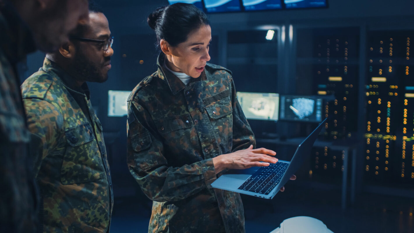
A military air-traffic controller spots a blip on her radar. Something unauthorized has just crossed into NATO airspace.
The AI built into the command-and-control system uses radar signature and video surveillance data to identify the intruder as an unmanned aerial system, or UAS. With no flight plan or permission, this drone must be treated as hostile. That means a quick decision: jam its communications, or send your own drone in to disable it, take it over, capture it, or simply shoot it down.
UAS are proliferating worldwide for military, civilian and commercial use. Being able to recognize, identify, and if necessary, counter them is a big job for military agencies, especially in Europe, where boundaries are close and threats are abundant.
It’s another evolving threat that has military leaders focused on their C6ISR capabilities (command, control, communications, computers, cyber defense and combat systems, and intelligence, surveillance and reconnaissance.)
As technology develops, effective C6ISR systems need to have interoperable, integrated components to remain up to date, according to “Future Proof C6ISR systems”, a recent white paper by Hexagon, a world leader in geospatial and digital reality solutions.
With allies working together under the NATO umbrella, it’s crucial that every division, every soldier, be able to rely on the same information. Multi-domain operations (MDO) require the synchronization of air, ground and maritime forces, vehicles, satellites, systems and all sources of data.
That complex network of data must be transformed into meaningful information that’s useful from the command center to the battlefield. To keep C6ISR systems evergreen, it helps to use software built around international standards and compliant with International Organization for Standardization (ISO) and NATO Standardization Agreement standards.
For true command and control, military leaders need a true common operational picture. A visualization engine like those available today can take advantage of the latest artificial intelligence algorithms, tying in terrain data, image intelligence, live radar feeds, sensor data and flight plans, “shortening the time from sensor to decision,” according to the Hexagon white paper.
The critical need to communicate decisions and instructions to the field, and receive updates, has evolved from runners in the pre-technology days to radios and now mobile devices equipped with an unprecedented level of detail: 3D visualizations, customizable military symbology, line of sight calculations and the location of friendly and enemy forces or supply routes.
The rapid development of cloud technology and AI are perhaps the biggest boons to C6ISR capabilities. AI can process massive amounts of data, looking for trends and anomalies that human analysts might miss amid a flurry of activity, and help rapidly classify objects and targets from optical or radar imagery. A substantial number of Earth Observation sensors can be fed into remote sensing software, allowing analysts to combine geospatial, image and open-source intelligence.
Cloud technology not only makes collaboration and data-sharing more efficient in a C6ISR system, but stores data intelligently and can process a multitude of data formats to feed numerous applications.
Click here for the recent white paper “Future Proof C6ISR systems” by Hexagon.


