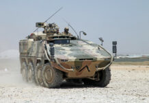
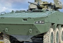
In a field test in the presence of experts from the participating nations, EDA presented the interim status and the working principles for the European Terrain Database.
According to the European Defence Agency (EDA), a large number of images are taken for the database with several cameras in different spectral ranges (visible, long-wave infrared, short-wave infrared) and in different configurations (drone-mounted or ground-based) of different terrain sections. The stored images are catalogued and provide information and metadata deemed necessary or useful for military use in testing and/or research activities. The unclassified images in different spectral ranges (visible wavelengths, infrared and microwaves) are to be made available to users from different participating member states on EDA-controlled servers.
Once the database is established and fully accessible, it can be used, for example, for target detection, assessing and improving stealth, testing and improving sensors in different terrains, generating synthetic images or supporting modelling and simulation activities. The datasets can be used by the ministries of defence of all participating member states for R&T initiatives as well as for operational and training purposes, the EDA says in a press release.
In the first section of the field test, the recording techniques were demonstrated in the different spectral ranges. In the second section, participants were able to experience the prototype terrain database and witness how sensor data acquired in the field was integrated with the database and made available for use.
The multinational field trial was also an opportunity for the experts to explore potential cooperation opportunities between European defence test centres.
GWH


